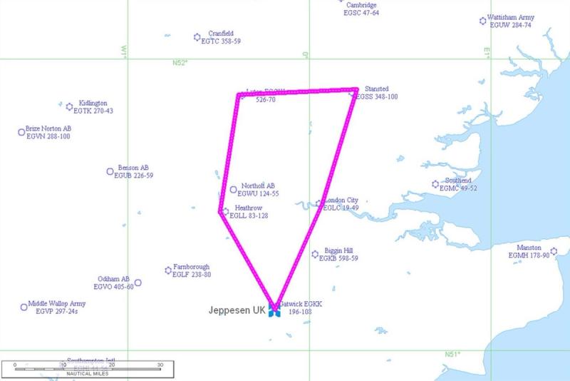
London Polygon
Mapping London's Air Space by Bike
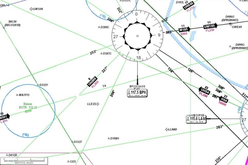
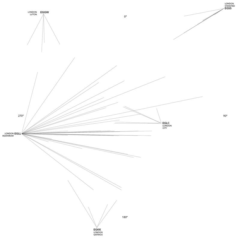
When an aircraft traverses any airspace it usually does so by navigating from one waypoint to another.
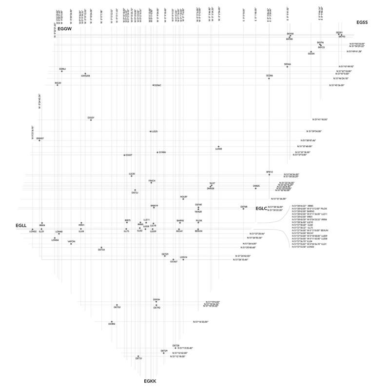
This project is a document of the waypoints within the Greater London Airspace, defined as an area starting the furthest North and moving clockwise: Stansted to London City, London City to Gatwick, Gatwick to Heathrow, Heathrow to Luton and finally Luton to Stansted.
Each waypoint has no corresponding building, structure or even transmitter on the ground. It only exists as a five character name associated with longitude and latitude coordinates. It is a phantom.
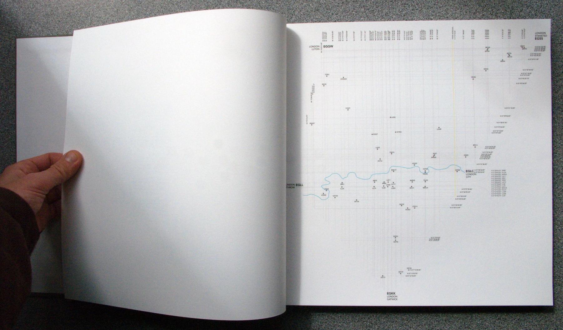
This project attempts at making these points very, very real. Each was visited on bike, pedalling the streets of London. Created as a single edition book, where by flicking through the pages you are essentially navigating through London.
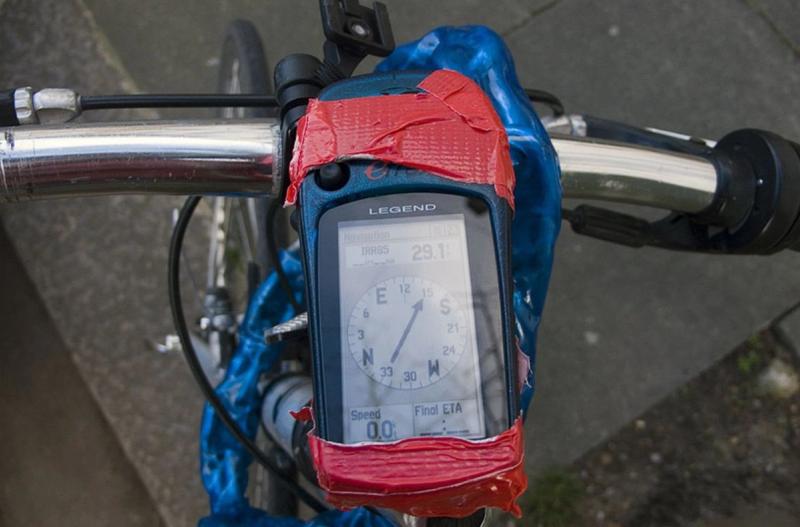
I visited each of the 54 waypoints within the London Polygon by bike, using a GPS to help guide me taped onto my handlebars.
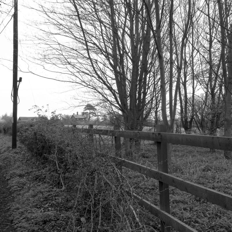
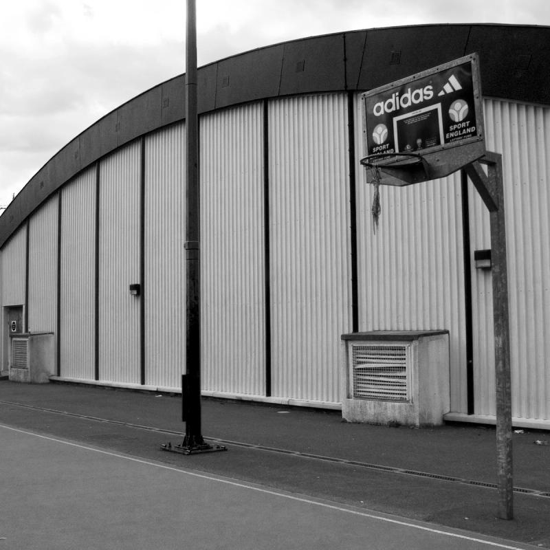
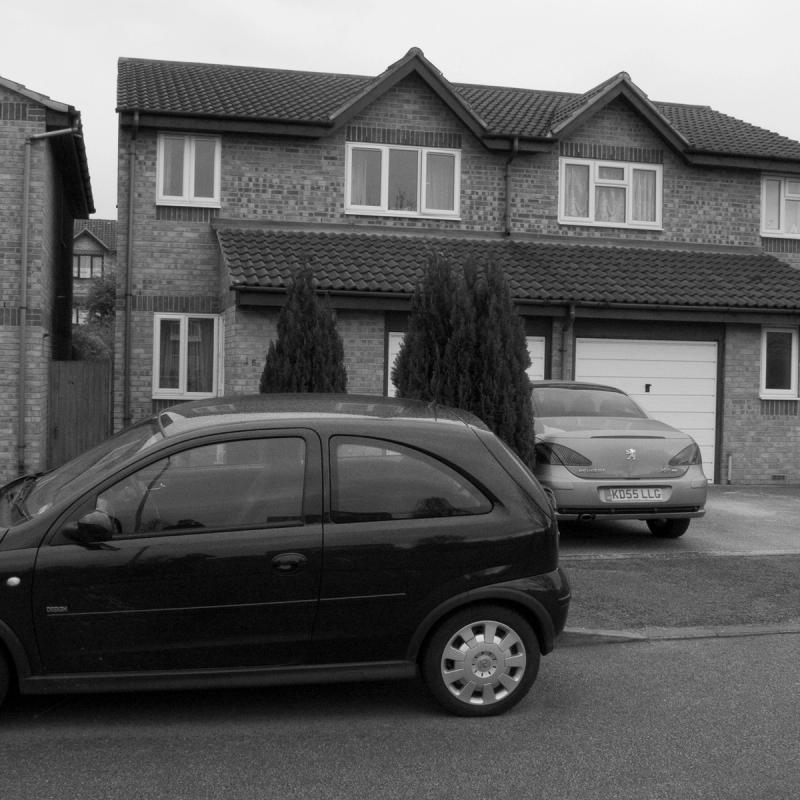
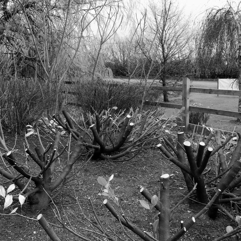
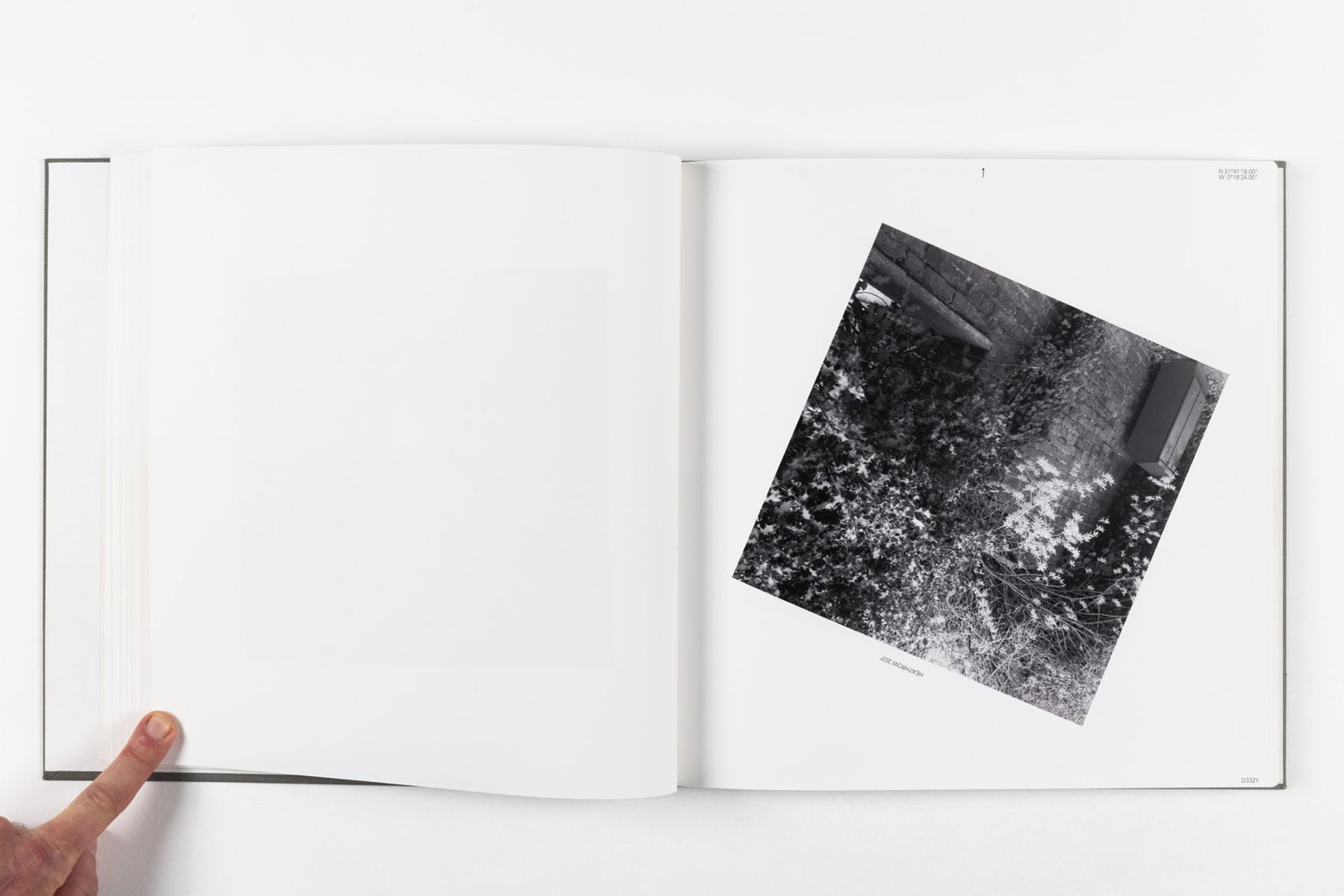
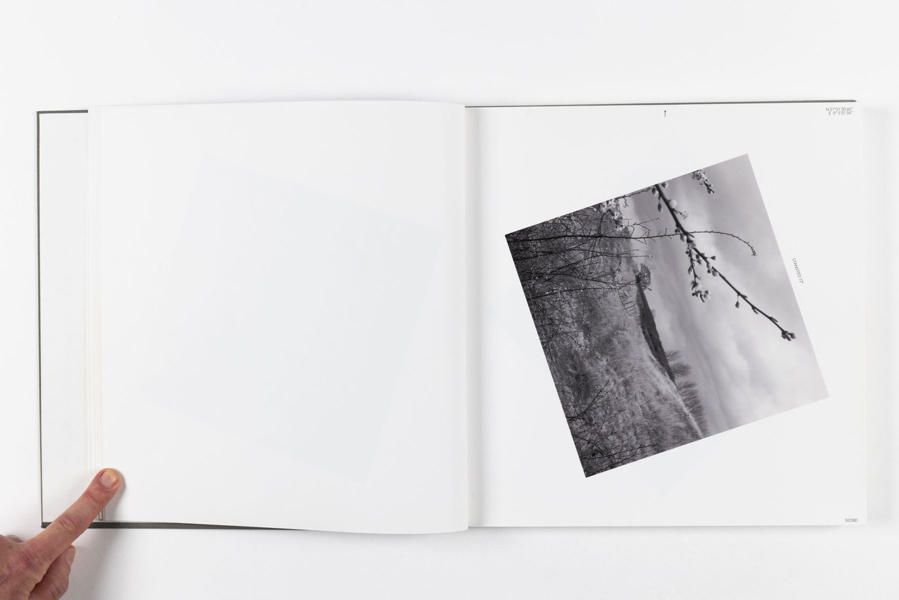
At each waypoint (or as close to one as I could physically get), I pointed the camera in the direction of the airport the waypoint related to and took a picture.
The photograph from each waypoint was placed on a page and rotated with north being the top of the page.
The book constitutes a portrait of the invisible network above our heads, projecting the way planes fly onto the ground.


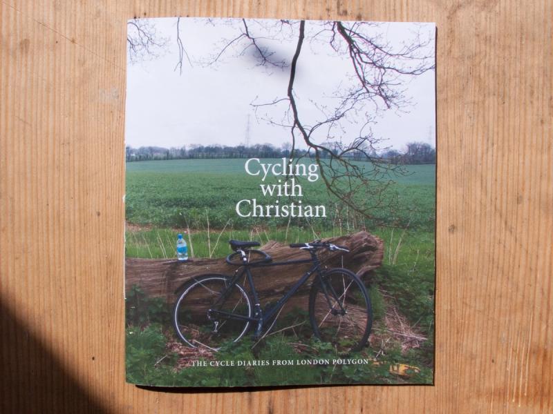
The following is an excerpt from Cycling with Christian, the diary of my cycling trips written for London Polygon and published as a small leaflet.
SORTIE V
It’s a bad day to be biking. It’s windy and a bit rainy. A blanket of grey sky, varying in intensity, looms on the horizon. I’m regretting even getting out the door, but I have to — otherwise, I’ll just keep postponing each and every trip. I must move on with this project.
Today will take me high up north. My coordinates have been carefully programmed into the GPS device. I’m on the road and moving along nicely — a smooth ride past Stockwell and Oval, towards London Bridge to photograph the first waypoint, which dictates the arrivals and departures in and out of London City Airport. A group of boys are practicing their skateboarding skills by jumping from a tall set of stairs and failing miserably at landing on their feet.
I move on quickly, surrounded by tourists, and head uptown towards waypoint HOLBY — a key waypoint in the newly established noise-restriction approach program into Heathrow. HOLBY is located at the side of a street. A group of girls walk past me, talking on their phones and listening to some variant of pop music. No one pays any attention to me. I photograph it, aiming my camera at the entrance to what looks like an abandoned convenience store. I continue as rain starts to drizzle down.
My next destination is much further along, again on a sidewalk. Three dogs from a neighbouring house bark simultaneously as I get off my bike. I leave quickly after taking the necessary photographs.
Sometimes I feel a bit like a criminal, as I always ‘perform’ and then swiftly disappear from the scene. I’d rather not have to explain to the cops — or anyone, for that matter — what I am doing.
The next waypoint is uphill in Barnet, which takes me through Swiss Cottage. It looks so depressing in the rain. I’m glad I don’t live up here. I don’t pay much attention to anything around me — my eyes are firmly focused on the road ahead and the traffic around me. My tires are too smooth for this kind of riding, and I really need to get myself a pair of mudguards.
I arrive at waypoint LLE20, located in the middle of a little green field between a couple of small off-license shops. Technically, I was supposed to continue my trip further north to LLE25, but the sky looks increasingly threatening and I’m in no mood for a rain race. I decide to turn around and head back towards town, where I stop to photograph one final point — FINCH — before stopping off for a pit stop in Finsbury Park.